Aahil Hassan Mir
GIS Analyst & Remote Sensing Expert
Transforming complex spatial data into actionable insights through automation and web mapping.
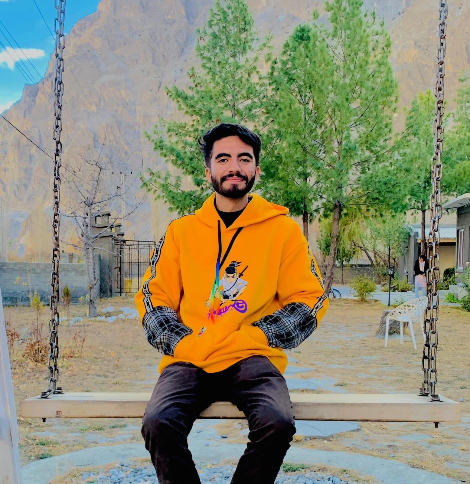
About Me
I’m Aahil Hassan Mir, a GIS & Remote Sensing Analyst based in Gilgit, Pakistan. I specialize in transforming complex geospatial data into actionable insights for research, urban planning, and high-level decision-making. My expertise is uniquely focused on the challenges of mountainous and environmentally sensitive regions like Gilgit-Baltistan.
I leverage Python-based GIS automation, Google Earth Engine, and modern web-mapping technologies to build scalable solutions. My work spans from Land-Use/Land-Cover analysis and disaster risk assessments to terrain modeling and AI-assisted geospatial tools. By automating workflows and deploying cloud-based platforms, I focus on increasing analytical accuracy while reducing manual effort.
My mission is to bridge the gap between geospatial research and modern technology. Whether I am supporting local development in Gilgit-Baltistan or designing interactive web maps for global applications, I bring a problem-solving mindset and technical precision to every project.
Skills & Technologies
GIS & Remote Sensing
Engineering & Web
Data & AI
Experience
GIS Analyst
Tech Fusion
April 2024 - December 2024Performed geospatial analysis and GIS mapping, transforming spatial data into interactive visual reports.
GIS Expert/Analyst
Himalaya Geolabs
Jan 2023 - Mar 2024Executed mapping and georeferencing tasks while supporting data analysis for diverse geospatial and mapping projects.
Education
BS in Remote Sensing and GIS
Karakoram International University
Specialized in spatial computing, mountainous terrain analysis, and web-based GIS solutions.
Let's Connect
I'm always open to discussing new projects, creative ideas or opportunities to be part of your visions.